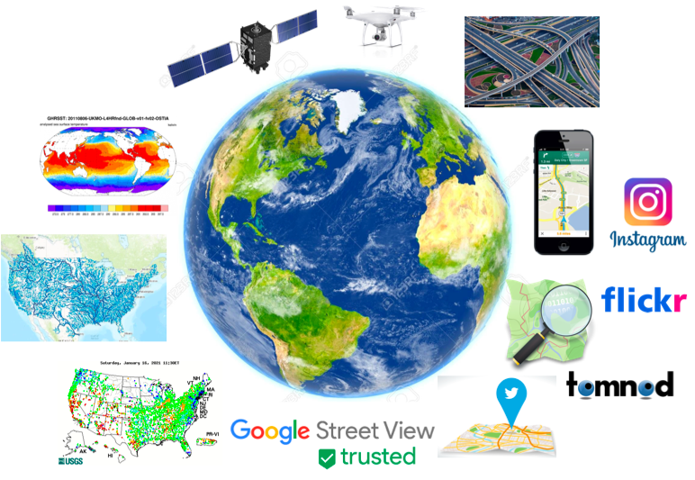
With the advance of GPS and remote sensing technologies, enormous amounts of geospatial and spatiotemporal data are being collected at an increasing speed. Examples include earth observation imagery, GPS trajectories, high-definition road networks, volunteered geographic information (VGI), geosocial media, and climate or hydrological simulation models. Our society is experiencing a rapid transition from a data-poor era to a data-rich era. Harnessing the data revolution is transformative. For example, epidemiologists use geographic distributions of Covid-19 cases and human mobility data to project disease hotspots. Hydrologists use remote sensing imagery and geographic terrain data to map surface water distribution for the validation and calibration of national water forecasting models. Urban planners use drone imagery to monitor damages to infrastructures and plan investment.
However, spatial and spatiotemporal data pose unique challenges to traditional machine learning algorithms. These include spatial and temporal autocorrelation (non-i.i.d.), spatial heterogeneity, temporal non-stationarity, unknown and non-linear dependency distribution, the multi-scale effect, and limited ground truth labels. We investigate various novel spatial and spatiotemporal data mining algorithms and tools to address the above challenges in the context of interdisciplinary applications. We developed novel spatial classification algorithms (spatial decision trees, spatial ensemble, hidden Markov trees, deep neural networks) on earth imagery for flood mapping and wetland mapping. We also designed efficient algorithms for colocation discovery from massive event data in public safety applications. We studied spatial prediction models on street view imagery, GPS trajectories, and road network data to map road infrastructure, analyze bicycle riding behaviors, and predict traffic flow.

Sample Survey Papers (complete list):